Why Survey?
- Required for new construction
- See a visual representation of exactly what you are buying or selling
- Know the exact property line dimensions, configuration, and the precise locations of all structures, driveways, fences, etc
- Know of any encroachments (driveway, fence, structure, etc)
- Be certain about easements such as utilities (drainage, sewer, power, water, etc) or egress / ingress
- Know the exact location of all trees and topography so that the future building / structure can be designed to fit the landscape accurately
- Know if any portion of the land is in a flood plain
- Go to closing with confidence, whether you are the buyer or seller
WHEN IS A SITE PLAN SURVEY NEEDED?
Builders and property owners may need a professional surveyor to create a site plan for any of the following:
- To obtain proper building permits
- To create grading strategies for water runoff (for example, if the property rests on a flood plain)
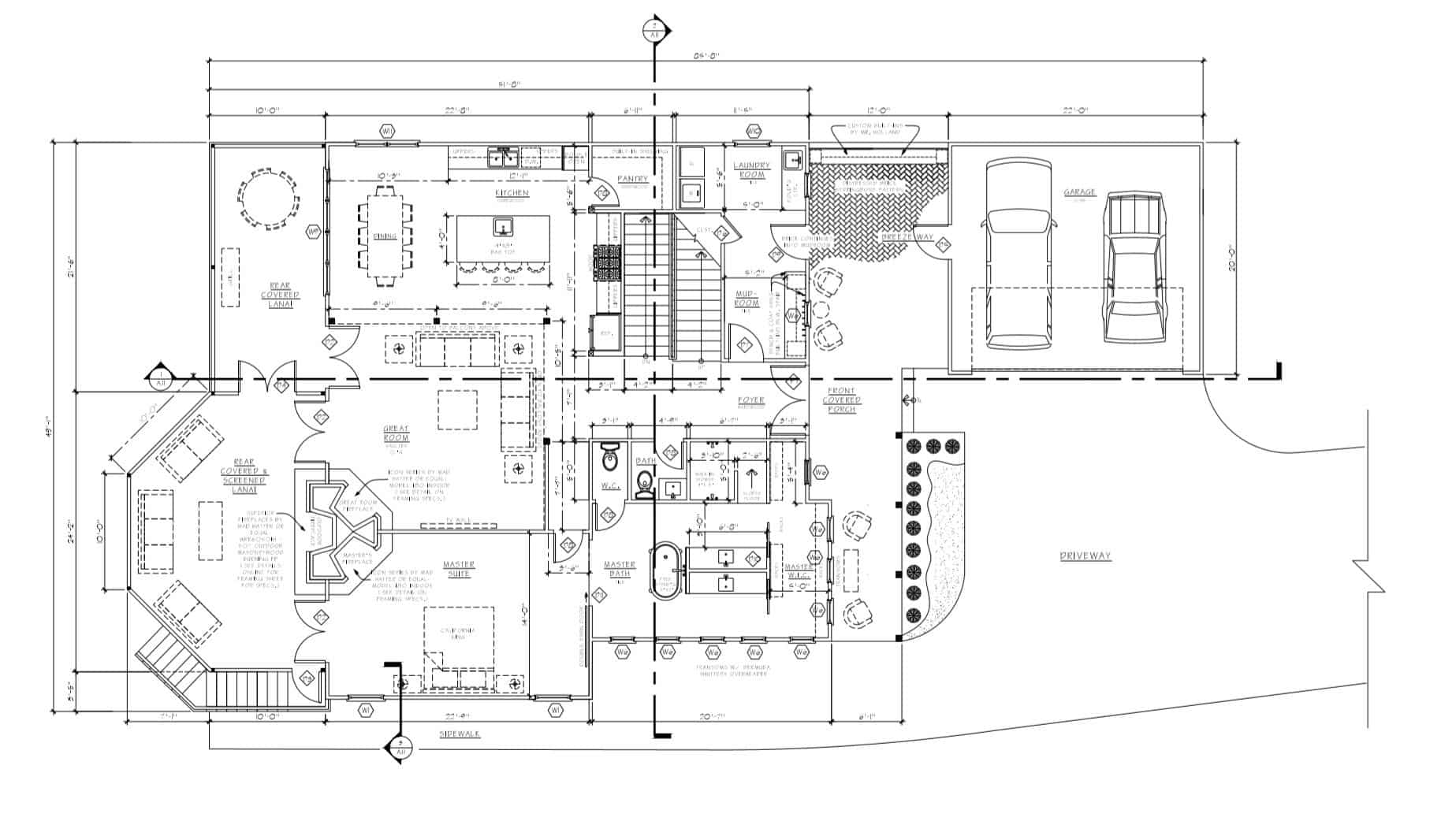
- To ensure accurate dimensions and position of a building as it is being constructed


